From today (23rd) to the early morning of next Monday (26th), due to the dry cold current, the temperature will drop very low after nightfall, and the lowest temperature on the flat land of the island will reach about 4 degrees.
(file photo)
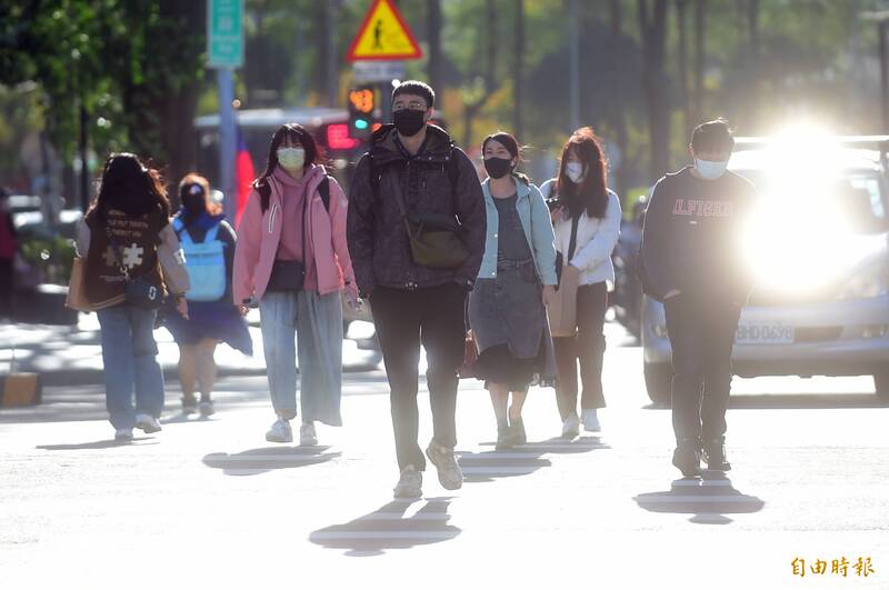
[Instant News/Comprehensive Report] The cold snap continues, and a low temperature of 3.9 degrees even appeared in Miaoli County this morning.
Meteorological expert Wu Derong said that from today to the early morning of next Monday (26th), due to the dry cold current, the temperature will drop very low after nightfall, and the lowest temperature on the flat land of the island will reach about 4 degrees.
Wu Derong, an adjunct associate professor of the Department of Atmospheric Sciences of Central University, said in "Sanlizhun Meteorology. Boss's secrets" today, the real-color cloud map this morning shows that the cloud streets are all over the north of the southern part of the East China Sea, not reaching the waters near Taiwan, implying Taiwan's early morning " "Ultra-low temperature" mainly comes from strong radiation cooling, not all caused by cold air.
Please read on...
According to the European model (ECMWF) simulation, from today to the early morning of next Monday (26th), a "dry cold current" is shrouded, and the places are sunny and stable. It "perhaps" does not feel very cold in the sun, but there is a "strong radiation cooling effect after nightfall." "Blessings, the temperature has dropped very low, and the lowest temperature on the flat land of the island will drop to about 4 degrees. The public is reminded to pay special attention to keeping warm in the morning and evening.
Today, the temperature on the plains in various regions is 5 degrees to 17 degrees in the north, 6 degrees to 22 degrees in the middle, 7 degrees to 24 degrees in the south, and 9 degrees to 22 degrees in the east.
As the cold air gradually weakens during the day next Monday and the temperature rises, it is warm and comfortable in the sun and slightly cold at night.
Next Tuesday and Wednesday (27th and 28th) the western half will be sunny and stable, the temperature will continue to rise, the daytime will be warm and comfortable, the morning and evening will be slightly cold, and the temperature difference between day and night will be large; the eastern half will have increased moisture and occasional short-term local rains.
From next Thursday (29th), under the influence of another wave of "northeast monsoon"-level weak cold air, there will be some rain in the northern and eastern half. The central and southern parts will be sunny and stable, while the north will be humid and cool. Cool weather patterns.