During the National Day holiday, the windward areas should pay attention to abnormal rainfall. If the weather is cool in the morning and evening, you should bring more clothes to keep warm.
(file photo)
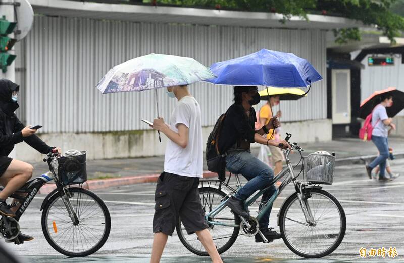
[Instant News/Comprehensive Report] Recently, there have been strong echoes on the windward side. Affected by the northeast monsoon, local rainfall occurred in the eastern half and northern areas of the National Day holiday. Prevent catastrophic heavy rainfall.
The weather in the area south of Hsinchu on the leeward side is clear and stable, with high temperature during the day and large temperature difference between day and night, so you must keep warm when going out.
The accumulated rainfall in Yilan has reached 1070 mm.
Today, the flat land south of Hsinchu is slightly cooler in Beitai, and the temperature difference between day and night in the central and southern parts of the country is large.
On the National Day, there will still be rain in the east and north, and the temperature will get cooler later, and the temperature on the flat land will drop to about 18 degrees.
On the 11th, it was sunny and cloudy in various places. From the 12th, the water vapor on the windward side increased again. There were signs of tropical disturbances in the northwestern Pacific Ocean. Whether it developed into an autumn platform must be strictly observed.
Please read on...
According to Wu Derong, an adjunct associate professor of the Department of Atmospheric Sciences at Central University, in the "Sanli Quan Weather. The Boss Xie Tianji", it is currently experiencing the second wave of abnormal northeast monsoon precipitation since the beginning of autumn.
As of 4 a.m. today (8th), the accumulated rainfall in Nan'ao Township, Yilan has reached 1070 mm, and radar echoes show that there are still strong echoes on the windward side.
At 4 a.m. this morning, the lowest temperature on the flat land fell to about 22 degrees in the north, about 23 degrees in the middle, about 23 degrees in the south, and about 22 degrees in the east.
The latest European Model (ECMWF) simulations show that today, under the influence of the northeast monsoon, there will be localized short-lived rainfall in the eastern half, Greater Taipei and Taoyuan areas.
From tonight to tomorrow (9th), the northeast monsoon will weaken, but there is still a chance of rain in the east and north. The windward side must be strictly prevented from catastrophic heavy rain. Pay close attention to the special report of the Meteorological Bureau, and the flat land south of Hsinchu is stable and sunny. Weather, occasional rain in the mountains.
Today, it is cool in Beitai, hot during the day in the central and southern regions, and the temperature difference between day and night is large.
The temperature in each region is 21 to 27 degrees in the north, 22 to 35 degrees in the center, 23 to 35 degrees in the south, and 21 to 33 degrees in the east.
According to the latest model simulation, from tomorrow night to the early morning of the 10th, there will be partial rain in the north and eastern half of Taoyuan. During the day on the 10th, the dry and cold air will move southward, and the weather will improve in various places. , while the central and southern regions are still hot during the day, and the temperature difference between day and night is large.
On the 11th, it was sunny and cloudy in all parts of the country. The north was comfortable and the south was slightly hot. However, mornings and evenings throughout Taiwan were cooler and slightly colder. In the early morning, the lowest temperature on the flat ground could drop to 16 degrees. It is recommended to bring a warm jacket when going out.
From the 12th to the 14th, the water vapor on the windward side increased again, there was rain in the east and north areas, and the south of Hsinchu on the leeward side was sunny and cloudy.
Model simulations of various countries show that there will be another tropical disturbance in the northwestern Pacific Ocean next week. Whether it develops into a co-accompaniment effect between the autumn platform and the northeast monsoon requires follow-up observation.