Listen to the news
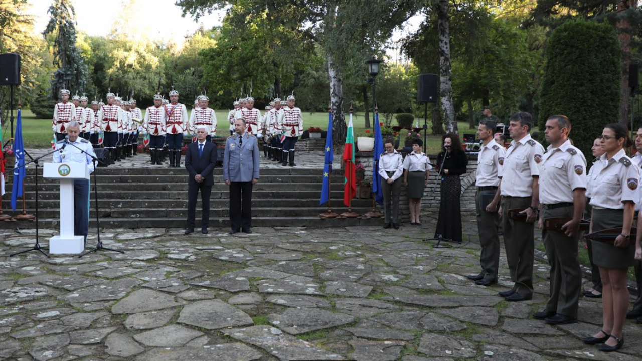
Defense Minister Dimitar Stoyanov participated today, September 20, in the solemn celebration of the 130th anniversary of the establishment of the Military Geographical Service, the press center of the Ministry of Defense announced.
He congratulated the command staff, military personnel and civilian employees, emphasizing the importance of the functions performed by them.
"As successors and successors of the Topographic Department at the General Staff of the Bulgarian Army, you contribute to the development of the capabilities of our Armed Forces," said Minister Stoyanov.
"The Military Geographical Service provides geographic materials and digital geographic data to over 120 military formations of the Armed Forces, 5 ministries and 25 other government departments and organizations.
It implements joint projects with the BAS and the Agency for Geodesy and Cartography.
All of this makes you a standard of responsibility and an important part not only of the structure of the Ministry of Defense, but also of the country," stressed Minister Stoyanov.
Congratulations to the staff of the Military Geographical Service on behalf of the military leadership of the Ministry of Defense and the Deputy Chief of Defense Lieutenant General Tsanko Stoykov.
"In military affairs, terrain information has always been among the leading prerequisites for winning battles and achieving success.
We have relied and will rely on your accurate and detailed information so that commanders at the tactical and operational level can make the right and effective decisions leading to the desired result," he said in his congratulation.
Lieutenant General Stoykov also expressed his gratitude to all generations of military cartographers, who over the years have contributed to the victories of the Bulgarian Army and to the success in preparing for the fulfillment of its tasks in peacetime.
They are modernizing the runway at the Graf Ignatievo Air Base for the F-16 fighters
Military and civilian employees of the Military Geographical Service were awarded for their diligence and competence in performing the responsible tasks of creating, storing and exchanging spatial data and cartographic products in the field of defense.
Department of Defense